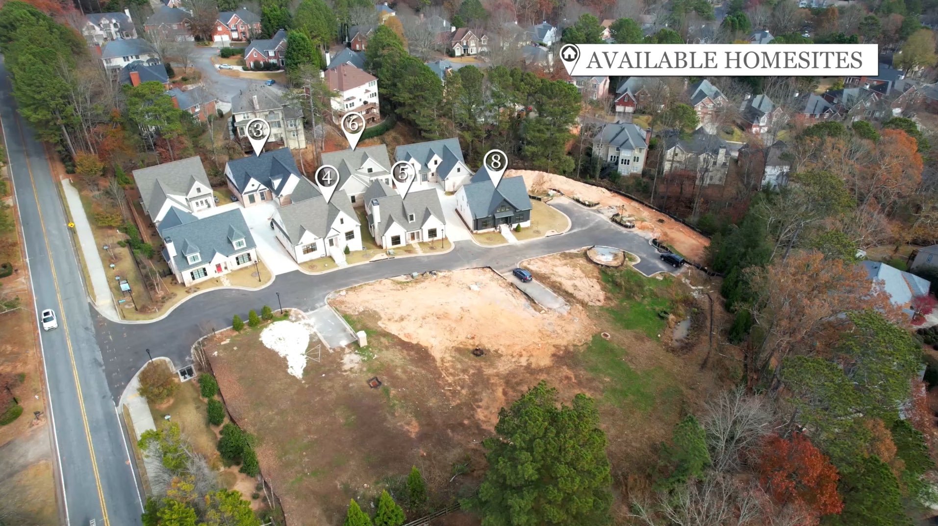
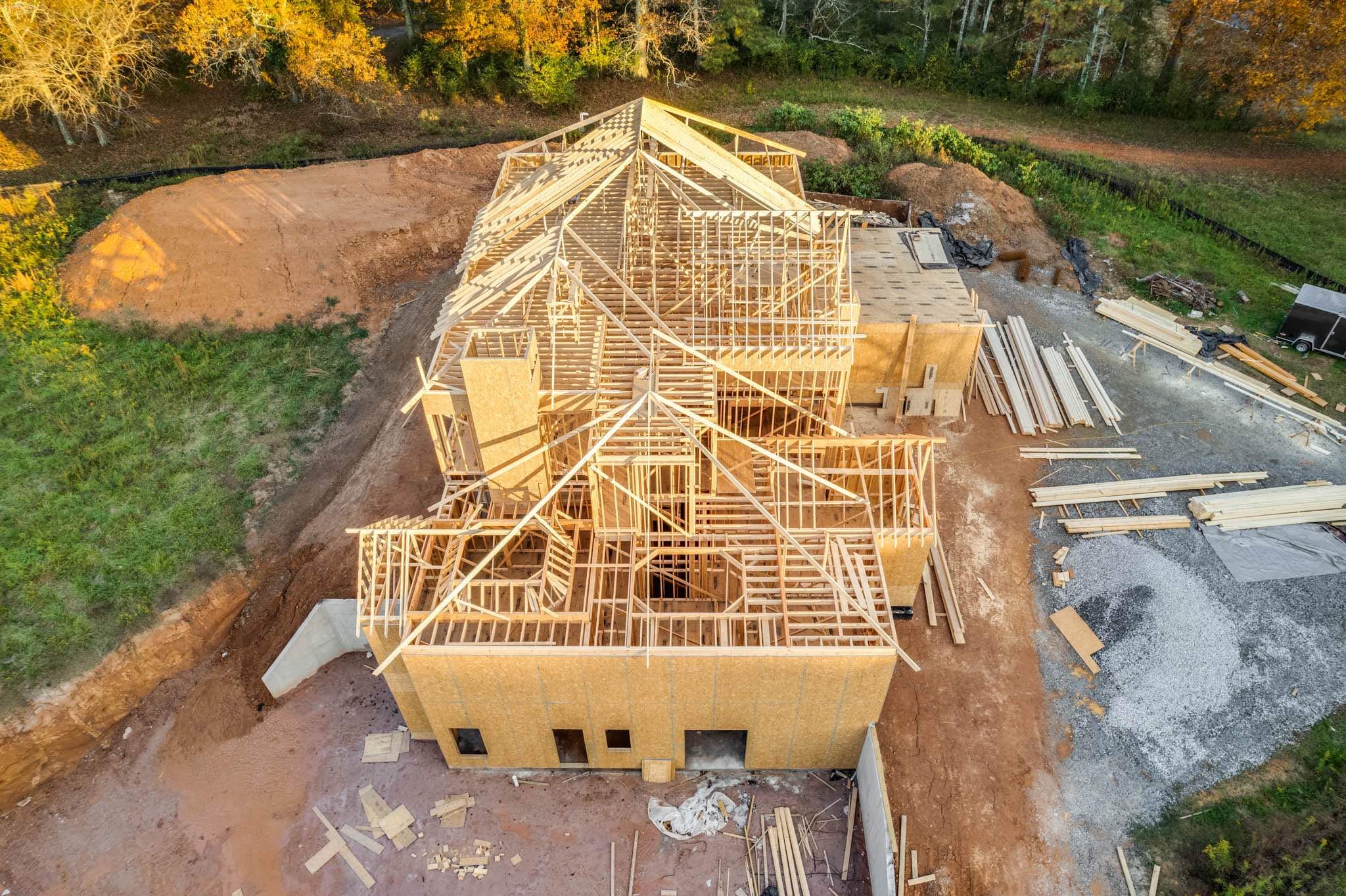
Aerial Imagery Attracts More Views
Increase visibility and convey information not achievable from the ground.
PHOTO ADD-ONs:
Lot Lines- Please provide a survey/plat if possible
Picture in Picture- overlay the hero shot onto a drone shot (lake/mountain/farm)
VIDEO ADD-ONs:
Area-Trace Graphics
Call-Outs
On-Screen Text

View fullsize
![]()


View fullsize
![]()

View fullsize
![]()


View fullsize
![]()


View fullsize
![]()

View fullsize
![]()